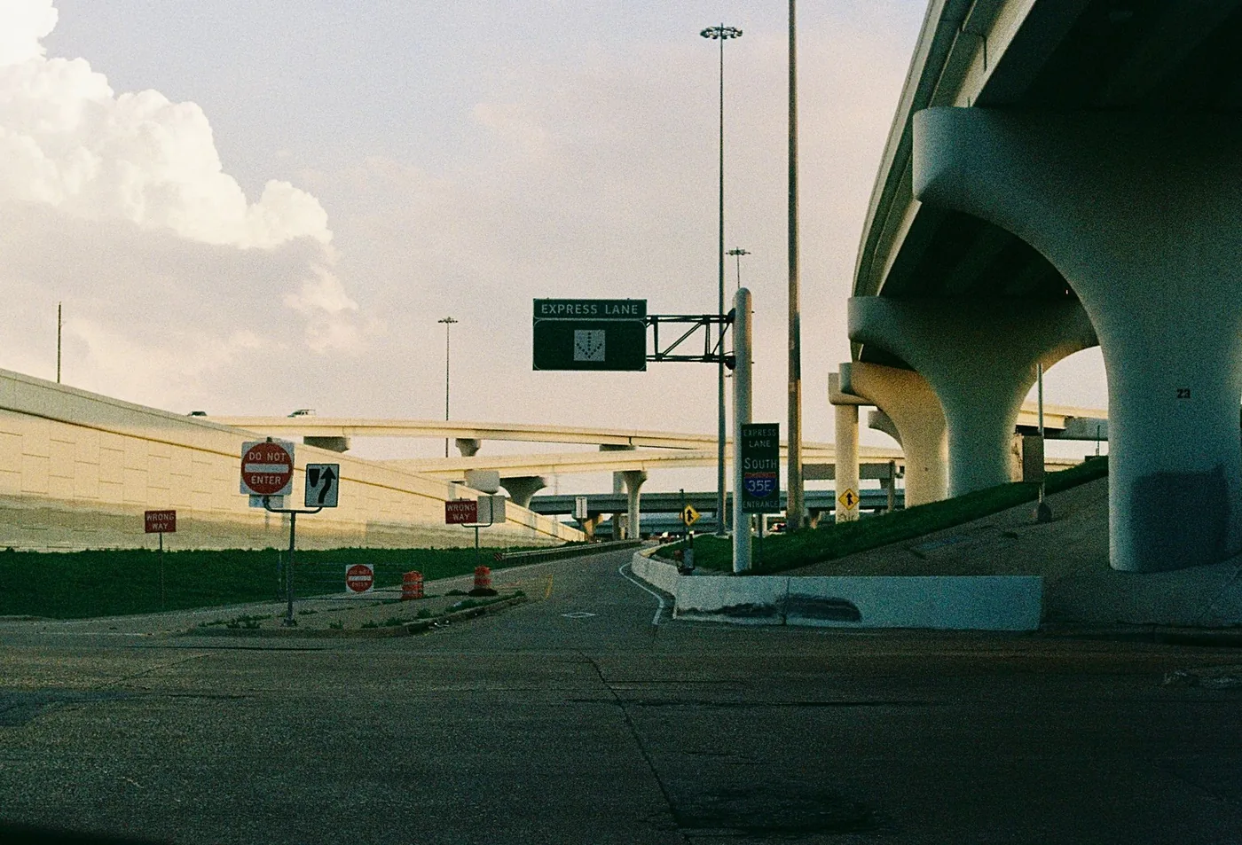
Texas is big in a way that changes how you plan. Dallas to El Paso is further than London to Prague. Houston to Amarillo is a full day. And the state's two largest metros contain more than three quarters of its worst traffic between them.
This is the overview. Each corridor has its own detailed guide.
Drive times between the major cities
| Route | Distance | Free-flow | Realistic |
|---|---|---|---|
| Dallas ↔ Fort Worth | ~32 mi | 30 min | 45–65 min |
| Austin ↔ San Antonio | ~80 mi | 1 hr 20 | 1 hr 50 – 2 hr 45 |
| Waco ↔ Dallas | ~95 mi | 1 hr 30 | 1 hr 45 – 2 hr 20 |
| San Antonio ↔ Corpus Christi | ~145 mi | 2 hr 10 | 2 hr 15 – 2 hr 45 |
| Austin ↔ Houston | ~165 mi | 2 hr 45 | 3 hr – 3 hr 45 |
| Austin ↔ Dallas–Fort Worth | ~195 mi | 3 hr | 3 hr 30 – 4 hr 30 |
| Houston ↔ Fort Worth | ~260 mi | 3 hr 50 | 4 hr 30 – 5 hr |
| Fort Worth ↔ El Paso | ~600 mi | 9 hr | 10 hr 30 |
| Dallas ↔ El Paso | ~635 mi | 9 hr 30 | 11 hr |
Houston ↔ Galveston at ~50 miles and Dallas ↔ Fort Worth at ~32 are the short intra-metro runs; everything else is a genuine journey.
Where the congestion actually is
The Texas A&M Transportation Institute and TxDOT publish an annual ranking of the state's 100 most congested road segments — a report the Texas Legislature has mandated since 2009.
Dallas–Fort Worth holds 41 of those 100 segments, more than any other metro in the state. Houston–The Woodlands–Sugar Land holds 36. Between them, the two metros account for more than three quarters of the entire list.
The state's single most congested segment is I-610, the West Loop, in Harris County — first for the third consecutive year, generating roughly 1.73 million hours of delay and about $166 million in annual congestion cost. Second is the Eastex Freeway, I-69/US 59, also in Harris County, at about 1.69 million hours and $147 million.
TxDOT identifies the factors that push a segment onto the list as economic vitality, land use, construction, congestion outside the traditional peak period, and weather. That fourth one matters for planning: on Texas urban corridors, "off-peak" is not the same as "clear."
One piece of context worth keeping: the 2025 Urban Mobility Report found that compared with similarly sized metros nationally, Dallas–Fort Worth and Houston experienced roughly 39% less delay per mile travelled. Texas congestion is severe in absolute terms because the metros are enormous and growing, not because the road network is unusually bad.
The I-35 problem
TxDOT ranks the stretch of I-35 between Austin and San Antonio as the tenth-most congested highway in the nation and the second-most congested in Texas. Between 100,000 and 150,000 vehicles use it every day.
The severe segments sit in the middle of the drive rather than at the ends — north and south of Buda, most of San Marcos continuing south to New Braunfels, and the southern approach to San Antonio. That is unusual and it changes how you plan: a trip going fine at San Marcos can still lose forty minutes.
Two mega-projects are reshaping it: I-35 NEX ($1.5 billion, adding elevated non-tolled lanes on the San Antonio end, completion expected 2027) and Capital Express South ($548 million, adding HOV lanes on the Austin end). Treat construction as a permanent feature until then.
SH 130, the tolled eastern bypass, exists specifically to route through-traffic around this corridor. On a Friday afternoon or during any Austin event, it is usually the correct choice.
The three regions, and how they differ
The Triangle — Dallas–Fort Worth, Houston, San Antonio and Austin. Dense, congested, and where nearly all the state's traffic problems live. Journeys are two to four hours and the metro ends decide your timing.
The Gulf Coast — Houston to Galveston and San Antonio to Corpus Christi. Short to moderate drives where hurricane season, June through November, is a first-order planning factor rather than a footnote. Evacuation orders reverse entire corridors.
West Texas — the I-20 and I-10 run out to El Paso. Nine to eleven hours, long gaps between services, and genuinely serious weather.
The National Weather Service in Midland/Odessa issues Dust Storm Warnings for the I-20 corridor with visibility under a quarter mile and winds over 50 mph, describing conditions as posing life-threatening travel hazards. The official procedure if dust reaches you is specific: pull off the road as far as possible, put the vehicle in park, turn your lights all the way off, and keep your foot off the brake pedal. Illuminated brake lights in near-zero visibility guide following drivers straight into your stationary vehicle. "Pull Aside, Stay Alive."
Also note the time zone: El Paso is on Mountain Time. You gain an hour heading west and lose one coming back — the most commonly forgotten detail on that drive.
Rest areas in Texas
Texas is one of the most permissive states in the country for overnight rest area parking — roughly 24 hours, and widely regarded as one of the most truck-friendly states.
Camping is still prohibited, as it is at every rest area in every state. Sleeping inside your vehicle is a different legal category and is what the permission covers.
Weather patterns to plan around
Spring convective storms (March–June) — fast-moving thunderstorm lines, often late afternoon, landing on the evening peak. Rain, hail and sudden crosswinds together.
Flash flooding — Texas drainage struggles with high-intensity rainfall statewide. Underpasses and low crossings fill fast. Turn around, don't drown.
Hurricane season (June–November) — Gulf Coast corridors, with evacuation traffic as the worst case.
Ice (December–February) — rare, brief, disproportionately severe. Limited equipment, limited driver practice. An ice event closes roads rather than slowing them.
Summer heat — breakdowns, tyre failures, and pavement damage triggering unscheduled closures. Serious on the long west Texas stretches.
Corridor guides
Metro and short runs
The Triangle
- Austin to San Antonio — I-35 traffic guide
- San Antonio to Austin — reverse commute timing
- Austin to Houston — distance and drive time
- Austin to Dallas–Fort Worth — I-35 long haul
- Waco to Dallas — drive time and departure windows
- Houston to Fort Worth — drive time and routes
Gulf Coast
West Texas
Before you leave
Texas distances are long enough that the departure decision is made once and cannot be revisited, and the weather four hundred miles ahead is not the weather outside your window.
BoardSpy models whole corridors rather than single points — metro peaks at both ends, the open middle, and live weather along the full route.
Frequently asked questions
How long does it take to drive between major Texas cities?
Dallas–Fort Worth is about 32 miles (30 min clear, 45–65 at peak). Austin–San Antonio ~80 miles. Austin–Houston ~165. Dallas–El Paso ~635 miles and about 9.5 hours driving. Pattern estimates, not live times.
Where is Texas traffic actually worst?
Dallas–Fort Worth holds 41 of TxDOT/TTI’s 100 most congested segments; Houston–The Woodlands–Sugar Land holds 36. I-610 West Loop is the state’s single most congested segment.
Why is I-35 between Austin and San Antonio so slow?
TxDOT ranks that stretch as the tenth-most congested highway in the nation and the second-most congested in Texas. The severe segments sit in the middle — Buda, San Marcos, New Braunfels — not at the ends. SH 130 is the tolled eastern bypass.
Can you sleep overnight at Texas rest areas?
Texas is among the most permissive states: roughly 24 hours. Camping is still prohibited. Sleeping inside your vehicle is a different legal category and is what the permission covers.
What should you do in a West Texas dust storm?
Pull off as far as possible, park, turn lights all the way off, and keep your foot off the brake. Lit brake lights draw following drivers into you. NWS: Pull Aside, Stay Alive. El Paso is on Mountain Time.
References
Congestion rankings come from TxDOT/TTI. Dust-storm procedure is National Weather Service guidance. Timing tables are pattern estimates, not measured figures for today.