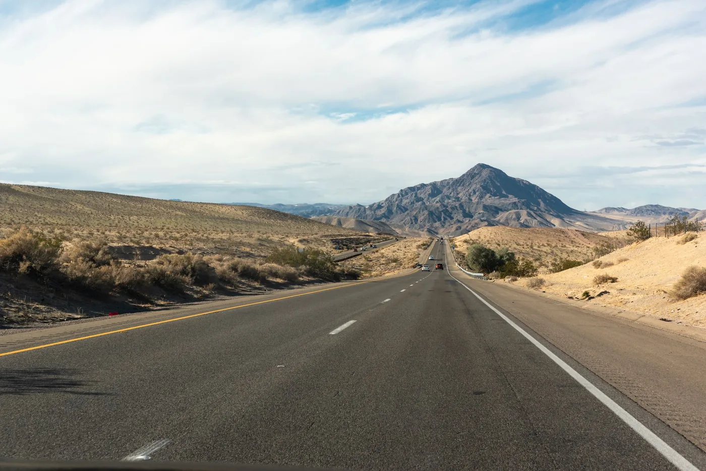
California is 800 miles top to bottom and the driving splits into two completely different problems: short bay and basin crossings where a bridge or a bottleneck decides everything, and long valley runs where fog, heat and a mountain pass do.
This is the overview. Each corridor has its own detailed guide.
Drive times between major cities
| Route | Distance | Free-flow | Realistic |
|---|---|---|---|
| Oakland ↔ San Francisco | ~12 mi | 20 min | 45 min – 1 hr 15 |
| LA ↔ Long Beach | ~25 mi | 30 min | 55 min – 1 hr 15 |
| San Jose ↔ San Francisco | ~48 mi | 50 min | 1 hr 20 – 1 hr 45 |
| Oakland ↔ Sacramento | ~80 mi | 1 hr 20 | 1 hr 50 – 2 hr 30 |
| Sacramento ↔ San Francisco | ~90 mi | 1 hr 40 | 2 hr 15 – 3 hr 30 |
| Sacramento ↔ San Jose | ~120 mi | 2 hr | 2 hr 30 – 3 hr 15 |
| LA ↔ San Francisco | ~380 mi (I-5) | 6 hr | 6 hr 30 – 7 hr 30 |
| San Diego ↔ San Francisco | ~500 mi (I-5) | 8 hr | 9 hr – 10 hr |
The two bottlenecks that define Northern California
The Yolo Causeway carries more than 10,000 vehicles per hour at peak against a design capacity of roughly 2,000 per lane per hour, with around 150,000 commuters crossing daily. It is elevated with narrow lanes and no shoulders — nowhere to put a broken-down vehicle, no escape from a queue.
Caltrans and the Yolo Transportation District cite short weaving and merging areas, lane drops, limited sight distances, and incomplete carpool and ramp-metering networks. Local commuters describe it as bumper-to-bumper every day from roughly 2:00 to 6:00 p.m.
The bypass worth memorising: I-5 north to Woodland, then Highway 113 south to rejoin I-80. Many regular commuters use it routinely rather than only in emergencies.
Active work: the Yolo 80 Managed Lanes Project is adding a dynamically tolled express lane along 17 miles between Davis and Sacramento, without widening the causeway itself. A separate $280 million pavement rehabilitation project has run on the same stretch.
The Bay Bridge is the other. One of the busiest bridges in the United States and the only direct road crossing between Oakland and San Francisco. There is no alternative that helps — the San Mateo and Dumbarton bridges are far south, the Richmond–San Rafael far north.
BART goes under the bay and does the trip in about 12 minutes. That is the single most useful fact about Bay Area travel.
The Central Valley problem
I-5 from the Grapevine to the Bay Area is the fastest way to cross the state and the most monotonous. Straight, flat, hot in summer, low-stimulus in a way that produces genuine fatigue on a six-hour drive.
Tule fog (November–February) is the serious seasonal hazard. Dense ground fog forms in the valley and can drop visibility to near zero with very little warning. It is worst in the early morning, which is otherwise the best time to be driving — a real trade-off in winter.
The Grapevine at Tejon Pass closes several times most winters for snow and ice. When it shuts, the detour is long. Check the status before a winter departure.
Summer heat in the valley is extreme, and the exposed stretches are long enough that a breakdown becomes a genuine problem. Carry water.
The coast route, and its caveat
Highway 1 through Big Sur is one of the great drives in the world and it is not a route — it is a destination.
Check the road status before you commit. Highway 1 closes regularly and sometimes for extended periods due to landslides; sections have been shut for months at a time. Verify with Caltrans and have a fallback.
Do not take Highway 1 because it looks shorter on a map. It is not shorter, and you will not be in a hurry for long.
US 101 is the sensible middle option — through Ventura, Santa Barbara, San Luis Obispo, Paso Robles and Salinas. About 90 minutes slower than I-5 between LA and the Bay, and considerably more pleasant.
Rail is genuinely competitive here
Unusually for America, several California corridors have rail worth taking rather than tolerating.
The Capitol Corridor runs 168 miles between Auburn and San Jose via Sacramento and Oakland, with 17 to 18 stations and up to 30 weekday round trips between Sacramento and Oakland in 2026. FY25 ridership was 1,138,753, up 10.3%. Fares increase from 1 September 2026.
One important limitation: it does not reach San Francisco directly. Trains terminate on the East Bay side and you connect from Emeryville by Amtrak Thruway bus. For San Jose, by contrast, the train goes all the way — San Jose Diridon is the southern terminus.
Caltrain runs the Peninsula between San Jose and San Francisco and has been electrified, improving journey times and frequencies.
BART covers the Bay Area core and is faster than driving across the bay at every hour of every day.
Rest areas in California
California rest areas have roughly an 8-hour overnight limit — enough for a full night's sleep, not enough to park up for a day.
Camping is prohibited, as it is at every rest area in every state. Sleeping inside your vehicle is a different legal category and is what the permission covers.
I-5 is the main interstate rest-stop corridor in the state; we cover it in detail separately.
Corridor guides
Bay Area
- Sacramento to San Francisco — I-80 traffic and route guide
- San Francisco to Sacramento — evening commute timing
- How to get from Sacramento to San Francisco — every option compared
- Oakland to Sacramento — I-80 commute times
- Sacramento to San Jose — route, drive time and rail
- Oakland Airport to San Francisco
- San Francisco Airport to San Jose
Southern California
On the road
Oakland to San Francisco is about 12 miles: BART does it in roughly 12 minutes; driving takes 20 minutes clear and up to 75 at peak. San Jose to San Francisco is about 48 miles on US 101 or I-280, with Caltrain on the Peninsula. LA to San Francisco is about 380 miles on I-5; San Diego to San Francisco about 500.
Before you leave
California's short corridors are decided by a bridge or a causeway, and its long ones by fog, heat and a pass. Neither is something a distance calculator will tell you.
BoardSpy models whole corridors — bottleneck status, pass conditions and live weather on the road ahead rather than where you are standing.
Frequently asked questions
How long does it take to drive between major California cities?
Oakland–San Francisco is about 12 miles (20 min clear, 45–75 at peak). Sacramento–San Francisco ~90 miles. LA–San Francisco ~380 miles on I-5 (~6 hours). San Diego–San Francisco ~500 miles (~8 hours). Pattern estimates, not live times.
What is the Yolo Causeway and why does it matter?
It carries more than 10,000 vehicles per hour at peak against a design capacity of roughly 2,000 per lane per hour, with no shoulders. Local commuters describe it as bumper-to-bumper from about 2:00 to 6:00 p.m. Bypass: I-5 north to Woodland, then Highway 113 south.
Does the Capitol Corridor go to San Francisco?
No. Trains terminate on the East Bay side; you connect from Emeryville by Amtrak Thruway bus. For San Jose, the train goes all the way — Diridon is the southern terminus.
Is Highway 1 a shortcut between LA and the Bay Area?
No. Do not take Highway 1 because it looks shorter on a map. It is a destination, not a route, and it closes regularly for landslides. Check Caltrans before you commit. US 101 is the sensible middle option.
How long can you stay at a California rest area?
Roughly an 8-hour overnight limit — enough for a full night’s sleep, not enough to park up for a day. Camping is prohibited. Sleeping inside your vehicle is what the permission covers.
References
Causeway operations sit with Caltrans District 3. Check roads.dot.ca.gov before a winter Grapevine or Highway 1 trip. Timing tables are pattern estimates, not measured figures for today.