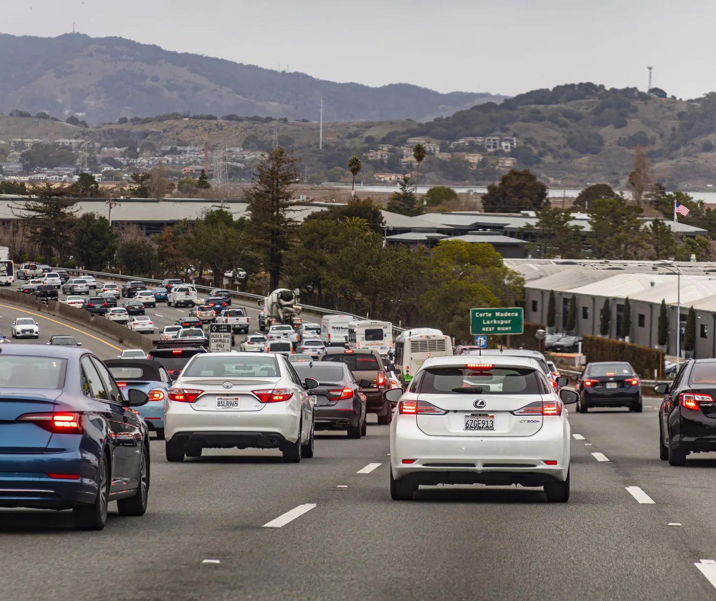
About 120 miles and roughly two hours — and this is the one Northern California corridor where the train goes all the way through without a bus connection.
That single fact makes it different from the Sacramento–San Francisco run, and it is worth knowing before you plan the drive.
The numbers
| Feature | |
|---|---|
| Distance | ~120 miles |
| Drive time, free-flow | ~2 hr |
| Weekday peak | 2 hr 30 – 3 hr 15 |
| Main route | I-80 west to I-680 south, or I-5 to I-580 |
| Rail | Capitol Corridor, direct |
The routes
I-80 west to I-680 south is the common choice — Sacramento through Davis and Fairfield, then south through Walnut Creek and Pleasanton into San Jose.
I-5 south to I-580 west to I-680 south is the Central Valley option. Longer on paper, and frequently faster when the Bay Area side is congested, because it stays in the valley longer.
The key thing about the I-80 routing: it takes you across the Yolo Causeway, which is one of the worst bottlenecks in Northern California.
More than 10,000 vehicles per hour cross I-80 in Yolo County at peak, against a design capacity of about 2,000 per lane per hour. Roughly 150,000 commuters use it daily. It is elevated with narrow lanes and no shoulders, so there is nowhere to put a broken-down vehicle and no escape from a queue.
Local commuters describe it as bumper-to-bumper every day between roughly 2:00 and 6:00 p.m.
The bypass: when the causeway is broken, take I-5 north to Woodland then Highway 113 south to rejoin I-80. Many regular commuters use Highway 113 routinely rather than only in emergencies.
If you are leaving Sacramento in the afternoon, the I-5/I-580 routing avoids the causeway entirely and is often the better call. Same bottleneck on the SF run: Sacramento to San Francisco I-80 traffic guide. Oakland-end version: Oakland to Sacramento.
The Capitol Corridor goes all the way
This is what makes Sacramento–San Jose different from Sacramento–San Francisco.
The Capitol Corridor runs 168 miles between Auburn and San Jose via Sacramento and Oakland, with 17 to 18 stations. San Jose is the southern terminus — the train goes there directly, with no bus connection required.
Compare that with the San Francisco version of this trip, where the train terminates on the East Bay side and you connect from Emeryville by Thruway bus. That connection is what erodes the rail advantage on the SF route. It does not exist here.
Ridership was 1,138,753 in FY25, up 10.3%. There are up to 30 weekday round trips between Sacramento and Oakland in 2026, with 22 weekend round trips on the main segment — though service frequency south of Oakland to San Jose is lower than on the core Sacramento–Oakland stretch, so check the timetable for your specific journey.
Fares increase from 1 September 2026 under the operator's business plan.
Where the train wins: downtown Sacramento to downtown San Jose, at peak, when you would rather work or read than sit on I-680. Both Sacramento Valley Station and San Jose Diridon are central.
Where it does not: either end away from a station, or trips into the wider South Bay where the last mile takes over.
When to drive
| Departure from Sacramento | Typical duration | Notes |
|---|---|---|
| Before 5:30 a.m. | ~2 hr | Free-flow |
| 6:00 – 9:00 a.m. | 2 hr 30 – 3 hr | Bay Area morning peak at the far end |
| 9:30 a.m. – 1:30 p.m. | 2 hr – 2 hr 15 | Best window |
| 2:00 – 6:00 p.m. | 2 hr 45 – 3 hr 15 | Causeway plus Bay Area evening peak |
| After 7:00 p.m. | ~2 hr | Clear |
The 2 p.m. start of the afternoon problem is the thing people misjudge. The causeway degrades from early afternoon, not from 4 p.m. If your departure touches that window, take the I-5 routing.
Where to stop
Two hours does not demand a stop, but the corridor has good ones.
Davis — about 15 miles out, just past the causeway. Pleasant, and useful if you have already lost time on the crossing.
Fairfield / Vacaville — about 45 miles. Full services and the natural midpoint on the I-80 routing.
Pleasanton / Dublin — about 90 miles. Last substantial services before the South Bay.
On the I-5 routing: Stockton and Tracy are the natural breaks.
Weather
Tule fog (November–February) is the serious hazard. Dense Central Valley ground fog can drop visibility to near zero on the Davis–Sacramento stretch — including on the shoulderless causeway, where it is materially more dangerous than elsewhere.
Winter rain compounds a corridor already running above design capacity.
Summer heat in the Central Valley drives breakdowns, and on the causeway a stalled vehicle blocks a lane outright.
Altamont Pass on the I-580 routing is windy year-round and affects high-profile vehicles significantly.
The reverse trip
San Jose to Sacramento is the morning problem in the Bay Area and the afternoon problem at the causeway — so a mid-morning departure between 9:30 and noon is the sweet spot in both directions.
The Capitol Corridor is equally direct northbound, and the same advice applies: check the southern-segment frequency, which is thinner than the Sacramento–Oakland core.
Statewide overview: California intercity travel.
Before you leave
One hundred and twenty miles with one notorious bottleneck near the start and Bay Area congestion at the end. Bay Area leave windows: best time to leave San Francisco to avoid traffic. Peninsula distance: how far is San Jose to San Francisco.
BoardSpy watches the causeway specifically and compares the I-80 and I-5 routings in real time — with live tule fog and rain on the road ahead, so you know before you leave which way to go today.
Frequently asked questions
How far is Sacramento to San Jose?
About 120 miles. Free-flow driving is about 2 hours; weekday peaks run 2 hours 30 minutes to 3 hours 15 minutes. Pattern estimates, not live times.
Does the Capitol Corridor go all the way to San Jose?
Yes. San Jose Diridon is the southern terminus — no Thruway bus. That is the difference from Sacramento–San Francisco, where trains terminate on the East Bay side.
Should I take I-80 or I-5 from Sacramento to San Jose?
I-80 west to I-680 south is the common choice, but it crosses the Yolo Causeway. I-5 south to I-580 west to I-680 south stays in the valley longer and is often faster when the Bay Area side is congested or you are leaving in the afternoon.
When is the worst time to drive Sacramento to San Jose?
2:00–6:00 p.m.: the causeway plus Bay Area evening peak, typically 2 hours 45 minutes to 3 hours 15 minutes. The 2 p.m. start is what people misjudge.
What is the Yolo Causeway bypass?
When the causeway is broken, take I-5 north to Woodland then Highway 113 south to rejoin I-80. Many regular commuters use Highway 113 routinely rather than only in emergencies.
References
Causeway operations sit with Caltrans District 3. Rail facts come from the Capitol Corridor operator. Timing tables are pattern estimates, not measured figures for today.