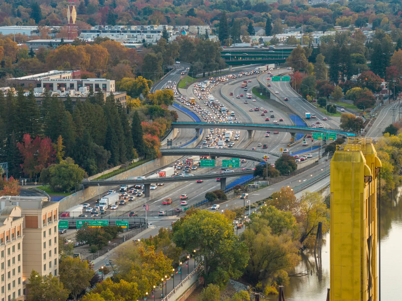
Eastbound is the afternoon problem, and it has an unusual shape: the delay starts earlier than a normal rush hour and it is concentrated at the end of the trip rather than the beginning. You clear the Bay Bridge, run 60 good miles, and then hit the Yolo Causeway — where local commuters report bumper-to-bumper conditions every day between roughly 2:00 and 6:00 p.m. Full westbound guide: Sacramento to San Francisco I-80.
The short answer
- Distance: ~90 miles
- Free-flow: ~1 hr 40 min
- Afternoon peak eastbound: 2 hr 15 min – 3 hr. Pattern estimates, not measured figures for today.
- Leave before 1:30 p.m. or after 6:30 p.m. The window between is the expensive one.
Hour by hour, eastbound
| Departure | Typical duration | Notes |
|---|---|---|
| Before 6:30 a.m. | ~1 hr 40 min | Free-flow. |
| 6:30–9:00 a.m. | 1 hr 50 min – 2 hr 10 min | Contraflow — you are leaving as everyone arrives. Modest penalty. |
| 9:00 a.m.–1:30 p.m. | 1 hr 40 min – 1 hr 55 min | Best window. |
| 1:30–2:00 p.m. | 1 hr 55 min – 2 hr 15 min | The edge. Thirty minutes earlier is worth real time. |
| 2:00–6:00 p.m. | 2 hr 15 min – 3 hr | Peak eastbound. Causeway is the problem. |
| 6:00–6:30 p.m. | 2 hr – 2 hr 20 min | Draining. |
| After 6:30 p.m. | ~1 hr 45 min | Clear. |
Notice the peak starts at 2:00 p.m., not 4:00. That is two hours earlier than most metro corridors, and it is the most commonly misjudged thing about this drive. SF-end city windows: best time to leave in San Francisco.
Why the delay is at the far end
Miles 0–10: the Bay Bridge approach. Bad in the morning, moderate in the afternoon. Eastbound afternoon you are travelling with commuters leaving the city, so it is not free, but it is not the worst part.
Miles 10–70: Vallejo through Fairfield, Vacaville, Davis. Generally the fastest section of the drive. Genuine highway speeds most of the time.
Miles 70–85: the Yolo Causeway. This is where the trip is decided. More than 10,000 vehicles per hour cross I-80 in Yolo County at peak against a design capacity of about 2,000 per lane per hour, with roughly 150,000 commuters using it daily. The causeway is elevated with narrow lanes and no shoulders — Caltrans District 3 and the Yolo Transportation District cite short weaving and merging areas, lane drops, limited sight distances, and incomplete carpool and ramp-metering networks among the causes.
The practical consequence of no shoulders: once you are on the causeway in a jam, there is no exit and no way around. A single crash there has produced westbound delays over an hour, and eastbound is no better.
The bypass worth memorising
When the causeway breaks, local authorities advise leaving it entirely: Highway 113 north from Davis to Woodland, then I-5 south into Sacramento. It is longer. It is also the difference between arriving and sitting. Many local commuters use Highway 113 routinely rather than only in emergencies, specifically to avoid the 2:00–6:00 p.m. band. Learn this route before the day you need it. Checking it from a stationary position on an elevated causeway with no phone signal is not the plan. Same bottleneck from Oakland: Oakland to Sacramento.
Construction
The Yolo 80 Managed Lanes Project is adding a dynamically tolled express lane along 17 miles of I-80 between Davis and Sacramento, deliberately without expanding the causeway footprint. Tolling is operated by the Capital Area Regional Tolling Authority. A $280 million pavement rehabilitation project has been running on the same stretch, bringing temporary lane shifts and new concrete barriers. Caltrans has previously opened supplementary lanes running adjacent to the highway before merging onto I-80 at the causeway, with a reduced 55 mph work-zone limit. Treat work as a permanent condition of the drive.
Weather
Tule fog (November–February) is the specific hazard on the eastbound approach. Dense Central Valley ground fog can drop visibility to near zero exactly where the road is elevated and shoulderless. Fog on the causeway is materially more dangerous than fog elsewhere on the route. Winter rain compounds a corridor already over capacity. Summer heat in the Central Valley drives breakdowns, and a stalled vehicle on a no-shoulder causeway blocks a lane outright. See also does rain make traffic worse.
The train, honestly assessed
The Capitol Corridor is a genuine alternative for this direction, and the eastbound afternoon is when it competes best — because a fixed journey time beats a variable one precisely when the variance is worst.
- Sacramento–Emeryville: typically 1 hr 45 min to 2 hr
- Up to 30 weekday round trips Sacramento–Oakland in 2026
- FY25 ridership 1,138,753, up 10.3%
- Fares rise from 1 September 2026
The limitation: no direct San Francisco service. You start with a bus or transit leg from the city to Emeryville, which adds time and a transfer. For a downtown-to-downtown trip at 4 p.m. the train is often the faster option in practice. For a trip starting anywhere else in the city, the connection erases the advantage. Full modal comparison: how to get from Sacramento to San Francisco.
Weekends
Caltrans identifies recreational weekend travel as a demand driver on I-80 alongside commuting. Eastbound Friday afternoon and Saturday morning carry Tahoe-bound traffic on top of everything else, and the causeway does not distinguish between a commuter and a skier. Friday eastbound between 2:00 and 7:00 p.m. is the worst regular slot on this corridor.
Before you leave
The eastbound pattern is stable enough to plan around and unforgiving of a fifteen-minute misjudgement, because the delay waits for you at mile 70 where you have no options left. BoardSpy watches the causeway specifically, tells you whether Highway 113 is the better call today, and factors tule fog and rain into your departure window rather than leaving you to discover it on an elevated road with no shoulder.
Frequently asked questions
What is the best time to drive from San Francisco to Sacramento?
Before 1:30 p.m. or after 6:30 p.m. The 9:00 a.m.–1:30 p.m. window is the most reliable daytime slot. Avoid 2:00–6:00 p.m. eastbound.
Why does the eastbound peak start at 2:00 p.m.?
Because the Yolo Causeway saturates in the early afternoon, two hours before a typical metro evening rush. You can have a clean Bay Bridge and still lose an hour in the last fifteen miles.
What is the Yolo Causeway bypass?
Highway 113 north from Davis to Woodland, then I-5 south into Sacramento. Longer, and the correct move when the causeway is blocked or in the 2:00–6:00 p.m. band.
Is the Capitol Corridor better in the afternoon?
Often for downtown-to-downtown trips. A fixed 1 hour 45 minutes to 2 hours to Emeryville beats a 2.5–3 hour drive when the causeway is saturated. You still need a connection from San Francisco to Emeryville.
Is Friday eastbound worse?
Yes. Friday 2:00–7:00 p.m. stacks commute traffic with Tahoe-bound weekend traffic. It is the worst regular slot on this corridor.
References
Causeway operations sit with Caltrans District 3. Rail facts come from the Capitol Corridor operator. Timing tables are pattern estimates, not measured figures for today.
- Caltrans District 3 — I-80 corridor, Yolo Causeway, and District 3 construction.
- Capitol Corridor — Sacramento–Oakland/Emeryville service and Thruway connections.
- Capitol Corridor schedules — Weekday and weekend frequencies.
- Data sources and privacy — How leave-time recommendations use your saved route (limits disclosed).