The Bay Area is one of the few American regions where not owning a car is a reasonable default — and also one where the wrong transit choice costs you two hours.
The reason is geography. There is a bay in the middle, and everything comes down to how you cross it.
The systems, and what each is for
| System | Covers | Best for |
|---|---|---|
| BART | SF, East Bay, SFO, OAK, Peninsula | Crossing the bay, airport trips |
| Caltrain | SF to San Jose down the Peninsula | Peninsula commuting |
| Muni | Within San Francisco | Getting around the city |
| AC Transit | East Bay buses | Local East Bay |
| VTA | Santa Clara County | South Bay local |
| SF Bay Ferry | Cross-bay water routes | Pleasant, slower |
| Capitol Corridor | Sacramento–Oakland–San Jose | Regional rail east and north |
The one thing to understand: BART goes under the bay through the Transbay Tube. That makes it immune to the Bay Bridge, which is the single biggest source of delay in the region.
Crossing the bay
Oakland to San Francisco is about 12 miles. BART does it in roughly 12 minutes. Driving takes 20 minutes clear and up to 75 at peak.
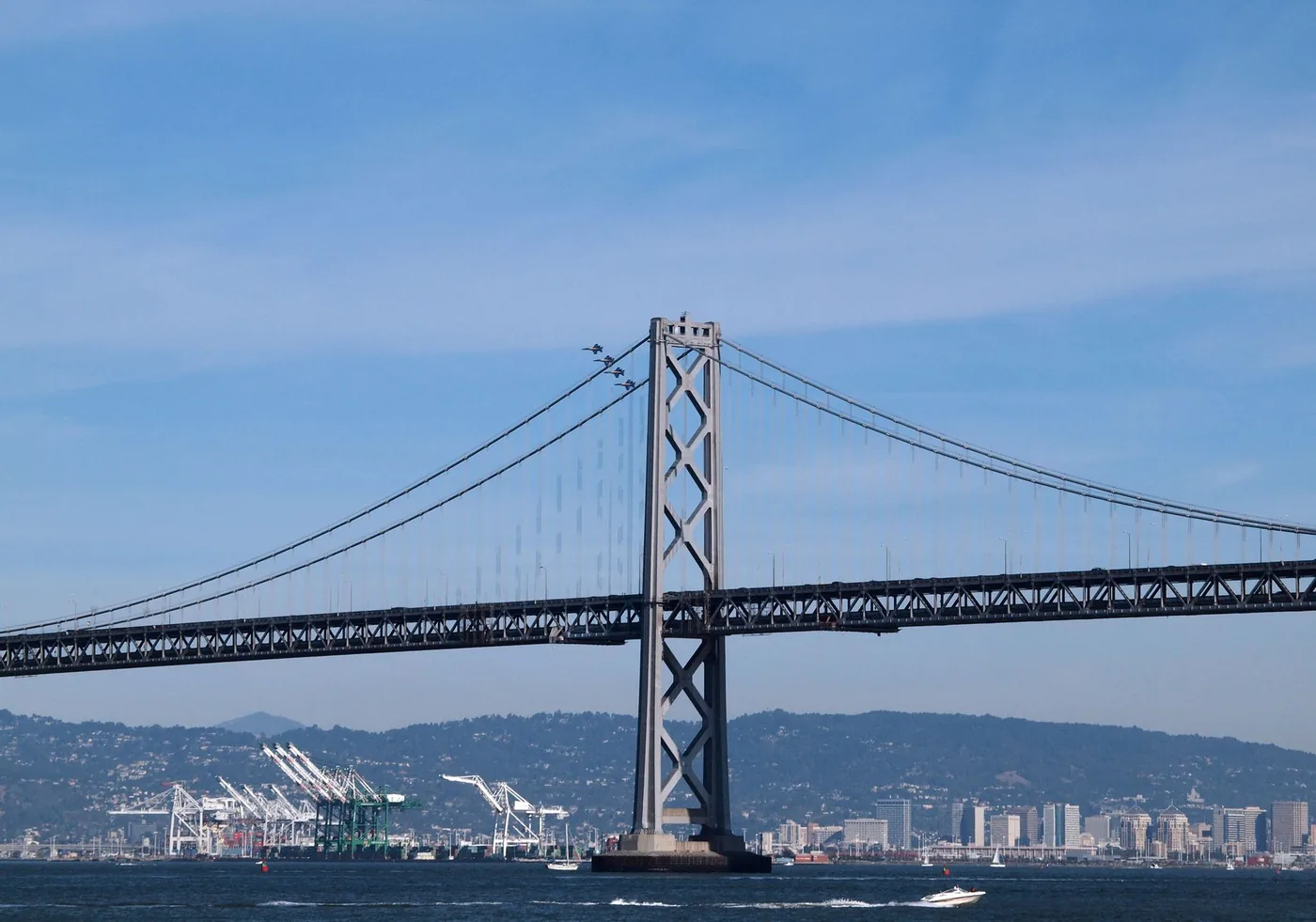
That comparison is the foundation of Bay Area transport planning. The Bay Bridge is one of the busiest in the United States, it is the only direct road crossing, and there is no alternative that helps — the San Mateo and Dumbarton bridges are far south, the Richmond–San Rafael far north.
The ferry between Jack London Square and the SF Ferry Building takes about 25 minutes. Slower than BART, more expensive, and by a wide margin the most pleasant way to make the trip.
Down the Peninsula
San Jose to San Francisco is about 48 miles. Caltrain covers it in roughly an hour on a local, considerably less on an express — the difference between the two is large enough that checking the timetable matters more here than on most rail journeys.
Caltrain has been electrified, improving journey times and frequencies. Use current schedules rather than older figures.
By road, US 101 is the direct line and I-280 runs parallel through the hills — slightly longer, considerably more pleasant, and frequently faster. Most locals take 280 unless they have a reason to be on 101.
One limitation: Caltrain's San Francisco terminus at 4th & King is south of the financial district, so there is a last-mile leg in the city.
The airports are not interchangeable
The Bay Area has three, and choosing by fare alone frequently costs more in transfer time than it saves.
SFO — its own BART station in the International Terminal. Best for San Francisco and the Peninsula. Most routes.
OAK — a dedicated BART connector from the terminal to Coliseum station. Clearly best for East Bay destinations, and often cheaper to fly into. Roughly 45 to 55 minutes to downtown San Francisco by BART, entirely under the bay. Transfer detail: Oakland Airport to San Francisco.
SJC (San Jose) — best for the South Bay. If your destination is San Jose or Silicon Valley, flying into SJC removes a 35-mile transfer entirely. If you did fly into SFO: San Francisco Airport to San Jose.
The rule: pick the airport by destination, not by fare. Then check the fare.
Regional connections
Sacramento — the Capitol Corridor runs 168 miles between Auburn and San Jose via Sacramento and Oakland, with up to 30 weekday round trips Sacramento–Oakland in 2026 and FY25 ridership of 1,138,753, up 10.3%. Fares rise from 1 September 2026.
The important caveat: it does not reach San Francisco directly. Trains terminate on the East Bay side and you connect from Emeryville by Amtrak Thruway bus. For San Jose, the train goes all the way — Diridon is the southern terminus. Direct guide: Sacramento to San Jose.
By road, Sacramento to San Francisco is about 90 miles on I-80, and it crosses the Yolo Causeway — more than 10,000 vehicles per hour at peak against a design capacity of roughly 2,000 per lane per hour, elevated with no shoulders, bumper-to-bumper daily from about 2 to 6 p.m. Full corridor: Sacramento to San Francisco I-80. Oakland-end: Oakland to Sacramento.
Do you need a car?
No, if your trip is San Francisco, the East Bay near BART, downtown San Jose, or the Peninsula near Caltrain. The region's core is genuinely well served, and city parking is expensive enough to make a car a liability.
Yes, if you are going to Marin, the Wine Country, the coast, the wider South Bay away from stations, or anywhere in the surrounding hills. Transit thins out fast outside the core.
The hybrid that works: transit for the core, a rental for the day you go north or to the coast.
Weather
Marine layer fog is the region's signature condition. It affects flights at SFO and OAK more than it affects the roads, and it affects the ferry more than BART.
Winter rain, especially the first after a dry spell, lifts oil off the road and produces a sharp spike in incidents on corridors already at capacity.
High winds on the Bay Bridge and the exposed bay-side sections affect high-profile vehicles.
Tule fog in the Central Valley affects the Sacramento approach specifically and is genuinely dangerous on the shoulderless causeway.
BART is largely unaffected by all of it, which is the practical case for it whenever the weather is doing anything.
Corridor guides
- Oakland Airport to San Francisco — BART, rideshare or drive
- San Francisco Airport to San Jose — every option
- Sacramento to San Francisco — I-80 traffic and route guide
- Sacramento to San Jose — route, drive time and rail
- Oakland to Sacramento — I-80 commute times
- California intercity travel — statewide drive times
Before you leave
The Bay Area rewards knowing which crossing is broken today. BART under the bay, the bridge over it, and the causeway an hour east all behave differently on any given afternoon.
BoardSpy watches the bridges and the causeway in real time and tells you before you leave which route is moving — with live fog and wind on the crossings.
Frequently asked questions
What is the best way to get around the San Francisco Bay Area?
BART for crossing the bay and airport trips, Caltrain for the Peninsula, Muni inside San Francisco. BART goes under the bay through the Transbay Tube and is immune to the Bay Bridge.
Is BART faster than driving Oakland to San Francisco?
Usually yes at peak. Oakland to San Francisco is about 12 miles. BART does it in roughly 12 minutes. Driving takes 20 minutes clear and up to 75 at peak.
Should I fly into SFO, OAK or SJC?
Pick the airport by destination, not by fare. SFO for San Francisco and the Peninsula. OAK for the East Bay (and often cheaper). SJC for San Jose and Silicon Valley — flying into SJC removes a 35-mile transfer.
Does the Capitol Corridor go to San Francisco?
No. Trains terminate on the East Bay side; you connect from Emeryville by Amtrak Thruway bus. For San Jose, the train goes all the way to Diridon.
Do you need a car in the Bay Area?
No if your trip is San Francisco, the East Bay near BART, downtown San Jose, or the Peninsula near Caltrain. Yes for Marin, Wine Country, the coast, the wider South Bay away from stations, or the surrounding hills.
References
BART, Caltrain and Capitol Corridor timetables override this guide. Drive-time windows are pattern estimates, not measured figures for today.