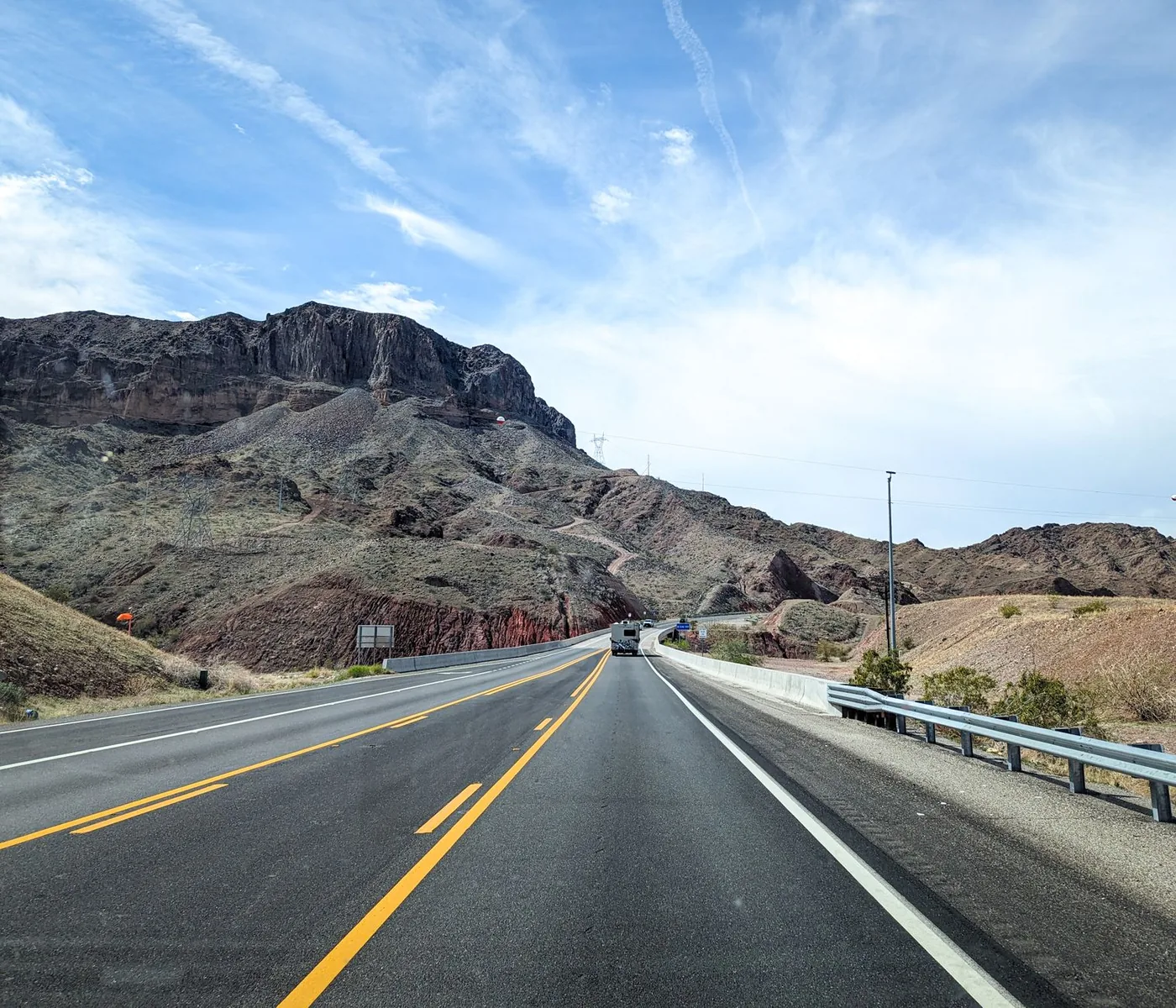
Most people plan a long drive around the destination and treat stops as something that happens when they get uncomfortable.
That is backwards, and it is why drowsy driving causes roughly 100,000 crashes a year, concentrated between midnight and 6 a.m.
Here is how to plan stops properly, and why the obvious tools do not do it well. Hands-free ask while already rolling: rest stops along my route.
The problem with "nearest" rest stops
When you search for rest stops while driving, most tools show you what is nearest — measured in a straight line.
That is not the same as what is reachable.
A facility half a mile away on the opposite side of a divided highway with no crossing is not reachable. One four miles ahead at your next exit is. On a freeway, straight-line proximity is close to useless as a guide.
What you actually want is: what is coming up on my route, in my direction of travel, within a short detour. That is a different question, and it is the one worth asking.
How often to stop
There is no legal requirement for passenger drivers, but the commonly used guidance is a break of at least 15 minutes every two hours of driving.
Some practical additions:
Stop before you need to, not when you do. Fatigue impairs judgement, including judgement about whether you are fatigued.
Stop more often at night. The midnight-to-6 a.m. window is where drowsy-driving crashes concentrate.
Stop more often on monotonous roads. Long straight interstate — the Central Valley on I-5, the west Texas stretch of I-20 — produces fatigue faster than a road that demands attention. Low stimulus is a hazard, not just boredom.
Building a stop plan
Work through this before a long drive rather than during it.
1. Mark the service gaps. Some corridors have long stretches with very little. Between Van Horn and El Paso on I-10, or Kettleman City and Santa Nella on I-5, you do not want to discover you are low on fuel.
2. Identify one proper stop. Rest areas rarely have food or fuel. Plan one truck stop or toll road service plaza for the real break, and use rest areas for the short ones in between. See rest stops with food.
3. Check the state you will be in. Time limits vary from two hours in Tennessee, New Jersey and Pennsylvania to no limit at all in Arizona, Arkansas and Georgia. If you might need a long stop, know which side of the line you will be on. Full table: interstate rest stops.
4. Note the weather-exposed sections. A rest area at the base of a mountain pass is the right place to wait out a closure — where the state permits a wait that long.
5. Use stops as a timing tool. This is the one people miss. If you are on track to arrive into a metro during its evening peak, a longer stop 60 miles out is faster than pressing on. You are not losing time; you are moving it to somewhere it costs less.
What counts as a rest stop
Three different kinds of facility, with different rules:
State rest areas — free, state DOT facilities, restrooms and vending, time-limited, camping banned everywhere. See freeway rest stops.
Toll road service plazas — operated by turnpike authorities, full food and fuel, no need to leave the toll road. Frequently governed by different rules; the Ohio Turnpike's eight plazas permit overnight stays where Ohio's rest areas do not.
Truck stops — private businesses, full services, their own rules. The correct answer for a long overnight in a restrictive state. See truck rest stops.
Rules that apply everywhere
Camping is prohibited at every rest area in every state. Sleeping inside your vehicle is a different legal category and is widely permitted. Slides out, awnings, chairs or cooking crosses the line.
Truck spaces are for commercial trucks. When passenger vehicles and RVs take them, drivers with legally mandated rest requirements park on highway shoulders instead.
Weather changes the plan
A stop plan built on distance alone breaks the first time the weather intervenes.
Dust storms on the I-20 corridor in west Texas: the National Weather Service in Midland/Odessa issues warnings citing visibility under a quarter mile and winds over 50 mph, describing conditions as posing life-threatening hazards. The official procedure is to pull off the road as far as possible, put the vehicle in park, turn your lights all the way off, and keep your foot off the brake pedal — lit brake lights guide following drivers into you.
Tule fog in California's Central Valley, November to February, can drop visibility to near zero with little warning.
Mountain pass closures — the Grapevine on I-5, Vail Pass on I-70, Donner on I-80 — can last hours or a day.
In all three cases, the right move is to stop early and wait rather than push through. That only works if you know where the next facility is and how long you are allowed to stay.
The tools
State DOTs publish rest area locations, and several publish interactive maps with amenity detail — Arkansas, Georgia and Idaho all do this well.
General mapping apps show rest areas but generally answer the "nearest" question rather than the "on my route" one, and they do not tell you the state's overnight rules.
Before you leave
A stop plan made at the kitchen table is a guess. What you need on the road is what is actually ahead of you, open, and reachable without a real detour.
BoardSpy shows the rest stops, fuel and food along your actual route as you drive it — filtered by genuine detour distance rather than straight-line proximity, with live weather on the road ahead so you can stop before the conditions reach you rather than after.
Related BoardSpy guides
- Find rest stops along my route, hands-free
- Interstate rest stops: US overnight rules
- Rest stops with food
- Truck rest stops overnight parking
- Freeway rest stops
Frequently asked questions
How often should you stop on a long drive?
There is no legal requirement for passenger drivers. Common guidance is a break of at least 15 minutes every two hours. Stop more often at night and on monotonous roads. Stop before you need to, not when you do.
Why is “nearest rest stop” the wrong search?
Nearest is measured in a straight line. On a freeway, a facility half a mile away across a divided highway may be unreachable, while one four miles ahead at your next exit is. You want what is coming up on your route, in your direction, within a short detour.
How do you build a rest-stop plan before a long drive?
Mark service gaps, identify one proper truck-stop or plaza meal, check the state’s stay limit for where you will be at overnight hour, note weather-exposed passes, and use a longer stop to miss a metro peak.
What is the difference between a rest area, a service plaza, and a truck stop?
Rest areas are free DOT facilities with restrooms and vending. Toll-road service plazas have food and fuel without leaving the road. Truck stops are private businesses — the correct overnight in a restrictive state.
How do I find rest stops ahead on my route while driving?
Use a route-aware tool, not a “near me” search. BoardSpy returns stops on the road in front of you, filtered by detour distance. Hands-free version: rest stops along my route.
References
Posted signs and operator timetables override this guide. Stay limits are pattern summaries of state DOT rules, not a substitute for the sign at the facility.
- NHTSA: Drowsy Driving — NHTSA estimates drowsy driving is involved in about 100,000 crashes a year, concentrated overnight.
- NWS: Dust Storms — Official dust-storm safety: pull aside, lights off, stay off the brake.
- NWS: Dense Fog — Dense-fog driving guidance; get off the road rather than crawl in a travel lane.
- 23 CFR § 752.5 — Safety rest areas — Federal rule defining Interstate safety rest areas.
- Ohio Turnpike service plazas — Example of plaza overnight rules that differ from ordinary rest areas.
- BoardSpy data sources — How leave-time recommendations use a saved route (limits disclosed).