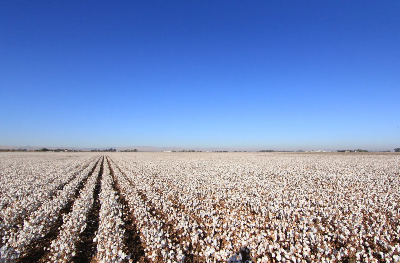
State Route 99 runs about 425 miles up the middle of California's Central Valley, from Wheeler Ridge near the Grapevine to Red Bluff — through Bakersfield, Fresno, Modesto, Stockton and Sacramento.
It is the valley's other north–south route, and it is a genuinely different drive from I-5 running parallel to the west.
Highway 99 versus I-5
| Feature | Highway 99 | I-5 |
|---|---|---|
| Character | Through the valley towns | Bypasses everything |
| Services | Frequent, in real towns | Widely spaced, purpose-built |
| Speed | Slower, more local traffic | Faster |
| Best for | Anything in the valley | Getting through the valley |
The practical difference: on I-5 you can drive 100 miles between substantial services. On Highway 99 you are never far from a town.
That makes stop planning easier on 99 — but it also means the formal state rest areas are fewer, because the towns cover the need. Corridor comparison: rest stops on I-5.
California's rest area rules
Roughly an 8-hour limit at California state rest areas, and it is enforced more consistently than in neighbouring states.
Eight hours covers a full night's sleep. It does not cover parking up for a day to wait out weather or a schedule. If you need longer, a truck stop is a private business setting its own rules and is the correct choice.
Camping is prohibited, as it is at every rest area in every state. Sleeping inside the vehicle is a different legal category and is what the eight hours covers. Slides out, awnings, chairs or cooking crosses the line.
Truck spaces are for commercial trucks. Highway 99 carries substantial agricultural freight — this is the corridor that moves the Central Valley's produce — so this matters more here than on a quieter route.
Tule fog is the reason to plan stops properly
This is the single most important thing about driving Highway 99.
Tule fog forms in the Central Valley between November and February and can drop visibility to near zero with very little warning. It is dense, it is localised, and it is a genuine hazard rather than an inconvenience.
Highway 99 runs through the heart of where it forms, and the corridor has a long history of serious multi-vehicle incidents in fog conditions.
What to do: if fog closes in, get off the road. A rest area or a town exit is the right place to wait. Do not slow to a crawl in a travel lane on a road carrying freight — that is how chain-reaction collisions happen.
When it forms: worst in the early morning and overnight, particularly after rain followed by clear cold nights. If you are driving 99 in winter, the middle of the day is materially safer than dawn.
The other seasonal hazards
Summer heat in the valley is extreme. Tyre failures and overheating are common, and the agricultural stretches are exposed. Carry water.
Agricultural traffic — slow-moving farm equipment on and crossing the highway, particularly at harvest. This is a working agricultural corridor, not just a through route.
Dust from field operations can reduce visibility, especially where bare fields sit alongside the road.
Winter rain produces standing water and the first-rain oil-lift effect.
Where the services are
Unlike I-5, Highway 99's services are in the towns rather than at purpose-built facilities.
Bakersfield, Delano, Tulare, Visalia, Fresno, Madera, Merced, Modesto, Stockton and Sacramento all sit on or immediately off the corridor with full services.
That is roughly one substantial stop every 30 to 50 miles for the length of the route — considerably better spacing than I-5 offers.
The trade: you leave the highway to reach them, which costs a few minutes each way. On I-5 the facilities are on the mainline; on 99 they are at exits.
Which route should you take?
Take Highway 99 when: your destination is in the valley, you want more frequent services, you prefer a road with something to look at, or I-5 is closed.
Take I-5 when: you are passing through the valley to somewhere else and speed matters.
In winter fog: neither is safe when it is thick. I-5 has fewer exits to escape onto; 99 has more towns but more cross traffic. The right answer in heavy tule fog is to stop, on either road.
The Grapevine connection
At the southern end, Highway 99 meets I-5 near Wheeler Ridge, just north of the Grapevine — the climb over Tejon Pass that closes several times most winters for snow and ice.
If you are heading south toward Los Angeles, check the Grapevine status before committing. When it closes, the detour is long and the traffic backs up onto both 99 and I-5.
A rest area or town stop at the southern end of the valley is the right place to wait out a pass closure.
Before you leave
Four hundred and twenty-five miles through a valley where the weather can go from clear to zero visibility in a few minutes.
BoardSpy shows the stops actually along your route as you drive it, with live fog and weather on the road ahead rather than where you are standing — so you can pull off before the fog reaches you rather than after.
Related planning: restaurants on my route · best time to leave San Francisco to avoid traffic.
Related BoardSpy guides
Frequently asked questions
How long can you stay at Highway 99 rest stops?
California state rest areas typically cap stays at about eight hours. That covers a legal sleep, not parking up for a day. If you need longer, use a truck stop — a private business setting its own rules.
Does Highway 99 have more services than I-5?
Yes. On I-5 you can drive 100 miles between substantial services. On Highway 99, towns sit on or just off the corridor roughly every 30 to 50 miles. Formal state rest areas are fewer because the towns cover the need.
What should you do in tule fog on Highway 99?
Get off the road. A rest area or a town exit is the right place to wait. Do not slow to a crawl in a travel lane on a road carrying freight — that is how chain-reaction collisions happen. Fog is worst early morning and overnight, November to February.
Should you take Highway 99 or I-5 through the Central Valley?
Take 99 when your destination is in the valley or you want more frequent town services. Take I-5 when you are passing through and speed matters. In heavy tule fog, stop on either road.
Can you camp at Highway 99 rest areas?
No. Camping is prohibited at every rest area in every state. Sleeping inside the vehicle is a different legal category and is what the eight-hour California limit covers. Awnings, chairs and cooking are not.
References
Posted signs and operator timetables override this guide. Stay limits are pattern summaries of state DOT rules, not a substitute for the sign at the facility.
- NHTSA: Drowsy Driving — NHTSA estimates drowsy driving is involved in about 100,000 crashes a year, concentrated overnight.
- Caltrans rest areas — California Safety Roadside Rest Area program; typical ~8-hour stays.
- NWS: Dense Fog — Official dense-fog driving guidance: get off the road rather than crawl in a travel lane.
- BoardSpy data sources — How leave-time recommendations use a saved route (limits disclosed).