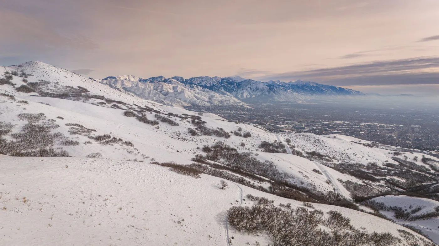
The metro crossing is easy. The mountains on either side are not, and that is where your planning should go.
The junction
I-15 runs north to south along the Wasatch Front — Idaho toward Las Vegas and Los Angeles. I-80 runs east to west — Wyoming toward Nevada and California. I-215 rings part of the metro.
The city sits on a narrow strip between the Wasatch Range to the east and the Great Salt Lake to the west. As in Seattle, the geography limits the options — I-215 helps but is not a complete escape.
The mountains are the real variable
East on I-80 climbs immediately into Parley's Canyon and over the Wasatch toward Park City and Wyoming. Winter storms there produce closures, chain requirements and traction law restrictions.
West on I-80 crosses the Bonneville Salt Flats — long, exposed, and with very limited services. High winds and, in winter, ground blizzards.
South on I-15 runs down through the state toward St George and Las Vegas, crossing significant elevation changes.
North on I-15 toward Ogden and Idaho, along the front.
The practical rule: in winter, the metro traffic is the least of your concerns. Check Utah DOT conditions for whichever direction you are continuing before you worry about rush hour.
Timing
| Crossing time | What to expect |
|---|---|
| Before 6:30 a.m. | Clear |
| 7:00 – 9:00 a.m. | Morning peak |
| 10:00 a.m. – 3:00 p.m. | Best window |
| 4:00 – 6:00 p.m. | Worst window |
| After 6:30 p.m. | Clearing |
The metro's peaks are moderate for its size. Salt Lake is one of the easier large-metro crossings in the west.
Ski season weekends are the exception. Traffic toward the canyons on Saturday morning and back on Sunday afternoon is severe during the season, and it affects I-80 and I-215 on the east side.
Weather
Winter snow is the dominant factor and the Wasatch gets a great deal of it. The valley gets less than the mountains, but enough to matter.
Chain and traction laws are enforced on the canyon routes. Know whether your vehicle complies before you reach the restriction point.
Inversion. A winter pattern where cold air is trapped in the valley beneath warmer air, holding haze and pollution near the ground for days. It reduces visibility and air quality without usually closing roads — but it is unpleasant and it can affect anyone with respiratory sensitivity.
High winds on the exposed western stretches of I-80 affect high-profile vehicles significantly.
Summer heat in the valley is dry rather than humid, but the salt flats stretch west is genuinely hot and sparse.
Altitude — the valley sits at roughly 4,300 feet and the passes are considerably higher. Expect reduced engine performance.
If you are stopping
Salt Lake City is a natural break point on both I-15 and I-80, and services are good throughout the metro. Also useful: best time to leave Salt Lake City to avoid traffic · best time to leave Denver to avoid traffic · restaurants on my route.
Fuel and provision before the salt flats if you are heading west on I-80. That stretch has very limited services and it is not a place to run low.
Utah operates rest areas along the interstates with posted signs governing stays.
Continuing on?
East on I-80: Parley's Canyon, Park City, then Wyoming — check conditions in winter. West on I-80: the salt flats, then Nevada and eventually Reno and California. North on I-15: Ogden, then Idaho and Montana. South on I-15: Provo, St George, then Las Vegas — about 420 miles.
Before you drive
The crossing is easy. The canyon is not, and the salt flats are not. Plan for what comes after.
BoardSpy watches the metro routes and the canyon corridors together, with live weather and wind on the road ahead — so a closure or a chain requirement shows up while you still have options.
Related drive-through guides
Along shared corridors: best time to drive through Denver · best time to drive through Phoenix.
Frequently asked questions
What is the best time to drive through Salt Lake City?
Between 10:00 a.m. and 3:00 p.m., or after 6:30 p.m. Avoid 7:00 to 9:00 a.m. and 4:00 to 6:00 p.m. The metro crossing is usually straightforward; the mountain routes either side are the real variable.
Does I-80 close near Salt Lake City in winter?
It can. I-80 climbs into the Wasatch through Parley's Canyon east of the city, and winter storms produce closures, chain requirements and traction restrictions. Check Utah DOT conditions before committing to a winter crossing.
What is the inversion in Salt Lake City?
A winter weather pattern where cold air is trapped in the valley under warmer air above, holding pollution and haze near the ground for days at a time. It reduces visibility and air quality but does not usually close roads.