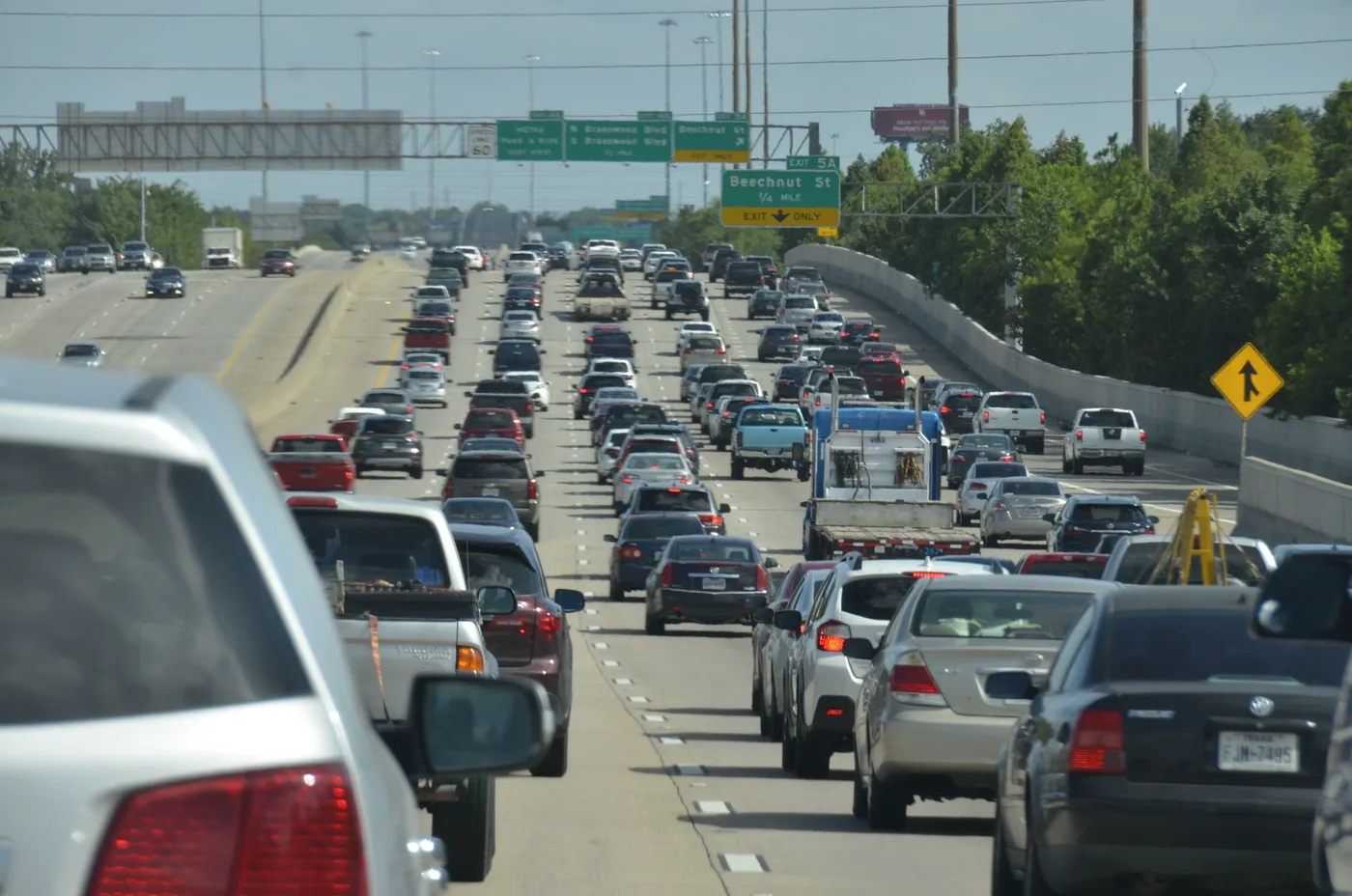
Forty miles is nothing. The problem is what sits at each end of them. This corridor connects two of the ten most congested metro areas in the United States, and the drive between them can take anywhere from 45 minutes to an hour and a half depending entirely on when you set off.
Two of America's worst traffic metros, forty miles apart
The INRIX 2025 Global Traffic Scorecard ranks Washington DC 9th worst in the United States at 70 hours lost per driver, and Baltimore 13th at 63 hours — with Baltimore up 31% in a single year, one of the sharpest rises in the country.
That is the context most distance calculators leave out. The 40 miles are trivial; the congestion at both ends is not. The gap between a clear run and a peak-hour run on this corridor is roughly 45 minutes, which is longer than the drive itself.
When is the Baltimore to DC drive worst?
- Worst southbound: 6:30–9:00 a.m.
- Worst northbound: 3:30–6:30 p.m.
- Best departures: before 6:00 a.m., between 10:00 a.m. and 2:00 p.m., or after 7:00 p.m.
Clear roads put you downtown to downtown in about 45 minutes. At peak, expect 1 hour 15 to 1 hour 30.
The DC end is where the time actually goes. Approaching on either route you meet the Capital Beltway (I-495), and then the District's own congestion, which is among the worst in the country. Baltimore's end is faster to clear, which is why the southbound morning peak bites harder than the northbound one.
Prefer a leave-by time to a set of windows? Put your arrival time into the departure time calculator and it will work out when to go.
I-95 or the BW Parkway?
Two roads run this corridor, and the right one changes with the hour.
- I-95 south is the direct interstate line. More lanes, more resilience when something goes wrong, and more trucks.
- The Baltimore–Washington Parkway (MD 295) runs parallel, is more pleasant, and prohibits commercial trucks along much of its length. It is frequently the better choice — but it has fewer lanes, so a single incident hurts more.
The practical rule: the Parkway is usually better outside the peaks and when I-95 has an incident. I-95 is the safer bet when you need predictability rather than speed.
When the train beats the car
Amtrak is the fastest way to make this trip, full stop. Thirty to forty minutes on the Northeast Corridor beats a clear drive and destroys a peak-hour one.
That is the part most people planning this trip do not realise. There is no time of day at which driving is faster downtown to downtown. The only reasons to drive are cost, first-and-last-mile access, and needing a car when you arrive.
MARC is the commuter alternative — slower than Amtrak, far cheaper, and the right answer if you are making this trip five days a week rather than once.
BWI has its own rail station served by both MARC and Amtrak, which means an airport trip from either city can be done entirely by rail. Driving to BWI is straightforward off-peak and unpleasant during a peak.
Which option fits your trip
- Downtown to downtown, any hour — Amtrak if the fare works, MARC if it does not.
- Daily weekday commute — MARC. Fixed hour, and you are not paying Amtrak fares five times a week.
- Either end suburban — Drive. The first-and-last-mile problem outweighs everything else.
- Need a car on arrival — Drive, and time it off the peak.
- Weekend travel — Check MARC's reduced timetable first. Amtrak runs, and driving is easier at weekends than on a weekday anyway.
Why your best time is route-specific
I-95 does not peak like the Parkway, and the DC end does not clear like the Baltimore end. A rule of thumb that works on one leg fails on the other. If you make this trip regularly, the corridor-level picture matters more than a single national average — see how much time traffic adds to a commute.
Commuting within either city rather than between them? See the best time to leave DC and the best time to leave Baltimore.
Find the best time to leave
Google Maps and Waze show live traffic once you are already on the road. BoardSpy is the leave-time app: it checks your saved route before you leave, recommends when to go, sends traffic and weather alerts, and tracks delay and on-time stats. It also factors in weather along the way. When you set off, it opens your map app for turn-by-turn.
Frequently asked questions
How far is Baltimore from Washington DC?
About 40 miles downtown to downtown. Driving takes roughly 45 minutes on clear roads and 1 hour 15 to 1 hour 30 at peak, so the time varies far more than the distance suggests.
What is the best time to drive from Baltimore to DC?
Before 6:00 a.m., between 10:00 a.m. and 2:00 p.m., or after 7:00 p.m. Avoid southbound 6:30–9:00 a.m. and northbound 3:30–6:30 p.m.
Is it faster to drive or take the train from Baltimore to DC?
The train, at every hour of every day. Amtrak covers the Northeast Corridor run in 30 to 40 minutes, which beats a clear drive and is roughly half a peak-hour one. Drive only if you need a car on arrival or either end of your trip is suburban.
Should I take I-95 or the Baltimore–Washington Parkway?
The Parkway (MD 295) is usually the better drive outside the peaks — more pleasant and no commercial trucks along much of it. I-95 has more lanes and copes better when something goes wrong, so it is the safer choice when predictability matters more than speed.
How long is the MARC train from Baltimore to DC?
MARC is slower than Amtrak but substantially cheaper, which makes it the right choice for a regular weekday commute rather than a one-off trip. Check the reduced timetable before relying on it at weekends.
How do I find the best time to leave for the Baltimore to DC drive?
Use a leave-time app that reads your actual route rather than only a live map. BoardSpy recommends when to leave, sends pre-departure traffic and weather alerts, and tracks on-time performance across your regular trips. Download it here.