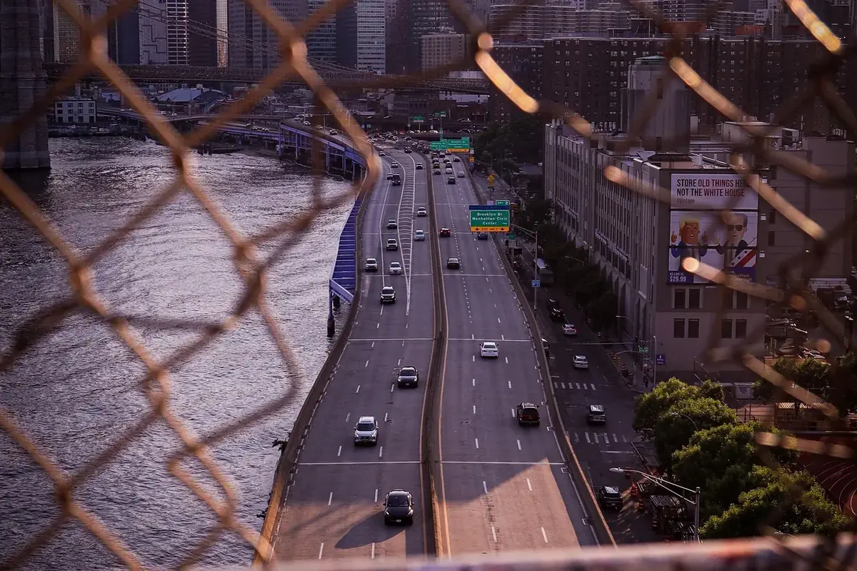
Quick answer: New York City ranked 2nd in the US for congestion in INRIX’s 2025 Scorecard (~102 hours lost per driver), with delay roughly flat year over year. BoardSpy pushes traffic and weather alerts on your saved NYC/NJ approach before you leave — not a replacement for turn-by-turn navigation.
NYC congestion in plain numbers
According to the INRIX 2025 Global Traffic Scorecard, New York City drivers lost about 102 hours to congestion — 2nd in the United States (Chicago led at 112; Philadelphia 101; Los Angeles 87). INRIX reported that NYC urban-area delay was roughly flat versus the prior year, with congestion pricing among the factors discussed in their US summary for why the metro did not worsen like some peers.
Flat does not mean painless. Crossings and expressways still create binary mornings: leave ten minutes earlier and you clear the GWB; leave on habit and you sit in the queue.
Chokepoints BoardSpy users actually save
- George Washington Bridge (GWB) — Upper Manhattan / I-95 approaches; weather and crash events amplify queues.
- Lincoln Tunnel & Holland Tunnel — Midtown and downtown NJ–Manhattan funnels; peak directionality flips morning vs evening.
- Brooklyn–Queens Expressway (BQE) — Recurring regional bottleneck for borough-to-borough and airport-adjacent drives.
- FDR Drive, Cross Bronx, and Long Island approaches — Incident-sensitive; a single lane drop rewrites ETAs.
Official context and agency updates: NYC DOT. BoardSpy uses your configured maps/traffic provider for the saved path — see data sources.
When NYC rush usually bites
| Period | What drivers feel | Alert use-case |
|---|---|---|
| Weekday AM into Manhattan | Bridge/tunnel approaches stack early | Morning leave-window push |
| Midday | Variable; construction & deliveries | Meeting-day route watch |
| Weekday PM outbound | Often longer than AM for reverse/outbound | Evening schedule alert |
| Fri / event nights | Stadiums, holidays, weather | Same route, worse variance — alerts help most |
How to set up BoardSpy for NYC
- Create your route with the real origin and destination (include the NJ town if that is home).
- Pick working days — skip weekends if you only need weekday crossings.
- Enable push on iOS/Android (or email if you prefer desk alerts).
- When an alert fires, decide: leave now, delay 20 minutes, or switch crossing — then navigate in Maps/Waze.
Driving through the region and need a food stop that is not a midtown detour? See where to eat driving through NYC. Social-feed local offers: NYC deals.
Honest limits
BoardSpy is not a 511 traveler-information system, not a toll calculator, and not turn-by-turn. Congestion pricing rules, cashless tolls, and lane restrictions change — verify with agency sources when planning a new crossing habit. Hours-lost stats are INRIX’s published metro aggregates, not a prediction for your exact driveway.
Frequently asked questions
How congested is New York City compared with other US cities?
In INRIX’s 2025 Global Traffic Scorecard, New York City drivers lost about 102 hours — 2nd in the US behind Chicago (112) and ahead of Philadelphia (101). Congestion in the NYC urban area was roughly flat versus 2024.
What should I watch for a New Jersey → Manhattan drive?
George Washington Bridge approaches, Lincoln Tunnel, and Holland Tunnel queues dominate many NJ–Manhattan mornings and evenings. Save the exact bridge or tunnel you use; alternate crossings can be worse, not better, once queues form.
Is the BQE still a problem for Brooklyn/Queens drivers?
Yes. The Brooklyn–Queens Expressway remains a recurring bottleneck in regional congestion reporting. Incident-driven slowdowns can erase any ‘usual’ leave time — which is why route-specific alerts beat a fixed calendar.
Does BoardSpy cover outer boroughs and Long Island approaches?
Yes if you save that route. BoardSpy is OD-based (origin–destination), not limited to Manhattan CBDs.
Does BoardSpy replace Waze for NYC?
No. Use BoardSpy before you leave; use Waze or Google Maps for live navigation and incident reroutes once you are driving.
References
- INRIX 2025 Global Traffic Scorecard (US press release)
- INRIX Global Traffic Scorecard rankings
- NYC DOT — traffic & transportation
- BoardSpy data sources & privacy
Get BoardSpy on your phone
Pre-departure traffic and weather push alerts — free to start on iOS and Android.